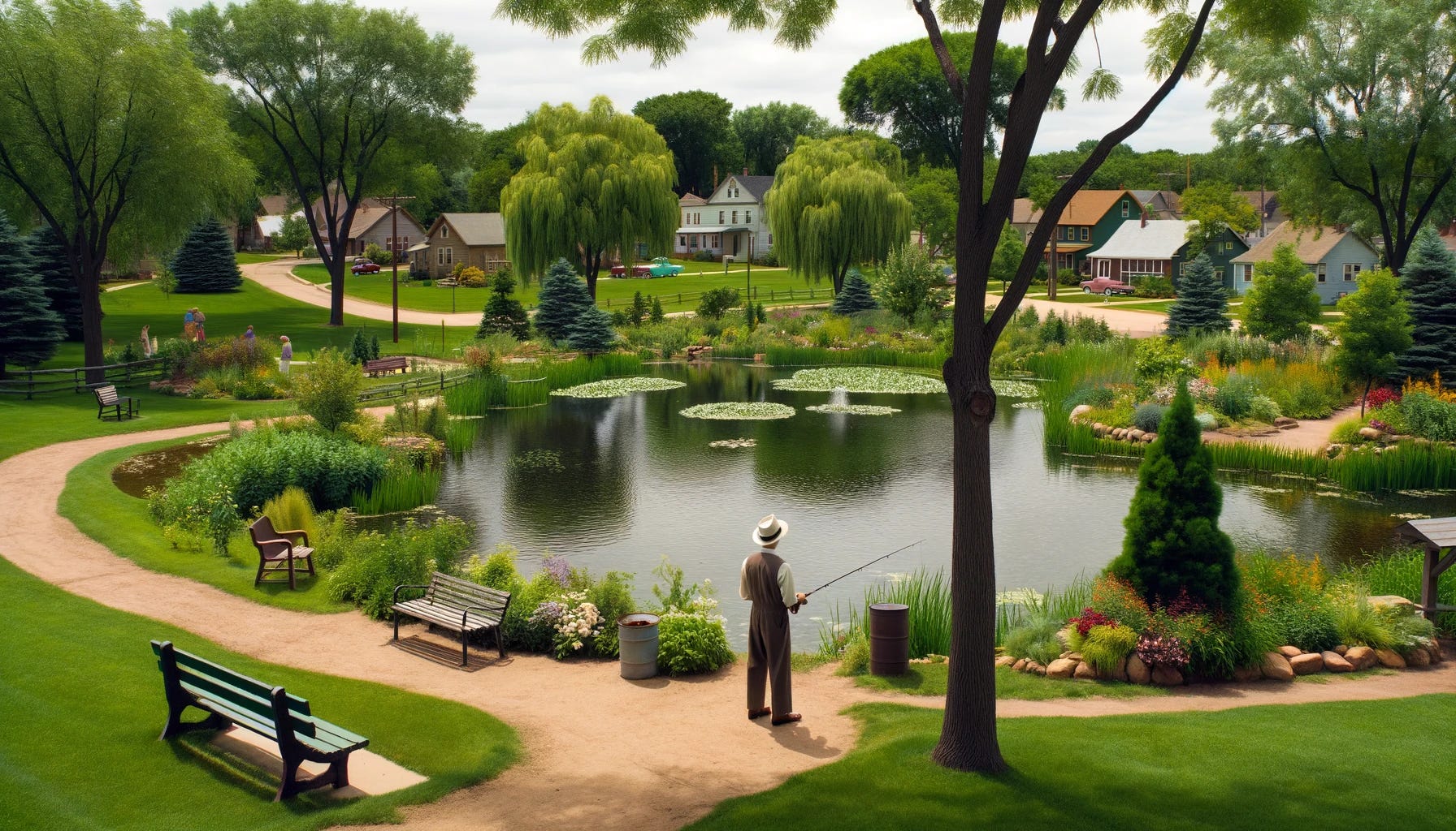
Learning About Our Community: Parks, Open Spaces and Environmental Conditions
The final chapters of the city's Existing Conditions Report are explained
Over the past two months, this publication has given our community an in-depth review of the Existing Conditions Report prepared by American Structurepoint, as part of their effort to complete the city’s new Comprehensive Plan. The Existing Conditions Report is particularly significant as it forms a foundational element for the city's comprehensive planning efforts. Today, we finish our “Learning About Our Community” series as the report ends with a discussion about parks, open spaces and enviornmental conditions.
One of the key aspects of the report is the shift from the National Recreation and Park Association (NRPA) Areas and Facilities Standards to the more dynamic NRPA Park Metrics introduced in 2019. This transition reflects a broader trend towards data-driven decision-making in park and recreation management. The NRPA Park Metrics provide a comprehensive benchmarking tool that allows Troy to compare its park system with those of other communities with similar population sizes, specifically those with 20,000 to 49,000 residents. This benchmarking is crucial for understanding how well Troy's parks serve its residents and where improvements can be made.
The report categorizes parks into various types based on their service areas and functions. Mini parks, which have a service area of 1/8th of a mile, are small but essential for providing recreational opportunities within walking distance for many residents. Troy has seven mini parks, each serving a specific neighborhood. These parks are vital for promoting physical activity and social interaction among community members, particularly in densely populated areas.
Neighborhood parks, with a service area of 1/4th of a mile, play a broader role in the community. Troy boasts sixteen neighborhood parks, each designed to serve the recreational needs of a larger area than mini parks. These parks often include amenities such as playgrounds, sports fields, and picnic areas, making them central hubs for family and community activities. They contribute significantly to the social fabric of the city by offering spaces for events, sports, and gatherings.
Community parks, which have a 1-mile service area, are larger and more diverse in their offerings. Troy has two community parks, Treasure Island Park and Troy Community Park. These parks provide extensive recreational opportunities, including boating, fishing, large playgrounds, and areas for community events. They serve as major attractions for residents and visitors alike, supporting not only physical activity but also community cohesion and local tourism.
Special use parks in Troy, such as Memorial Stadium, Hobart Arena, Troy Aquatic Park, and Joe Reardon Skatepark, also have a 1-mile service area. These parks are designed for specific activities and events, drawing visitors from across the city and beyond. The specialized nature of these parks helps meet diverse recreational needs and interests, from competitive sports to skateboarding and aquatic activities.
Troy's six sports complexes, including the North Market Street baseball/softball complex and Duke Park, with a service area of 1 mile, are critical for organized sports and community events. These complexes support a variety of sports, including baseball, soccer, and tennis, and are essential for youth and adult sports leagues. They provide high-quality facilities that encourage physical fitness and community participation in sports.
The report's comprehensive analysis of city-owned and non-owned park facilities ensures that all recreational areas are considered in planning efforts. By combining these facilities, the report provides a holistic view of the city's recreational assets and identifies underserved areas. For instance, the analysis reveals that the west boundary of the city is nearly wholly underserved by park facilities. This insight is crucial for future park development efforts, ensuring equitable access to recreational spaces for all residents.
The transition to NRPA Park Metrics underscores the city's commitment to using relevant and up-to-date data for planning and improvement. This approach aligns with best practices in park and recreation management, where data-driven strategies are essential for meeting community needs effectively. By comparing its park system to national benchmarks, Troy can ensure that its parks remain competitive and well-serviced, offering high-quality recreational opportunities that enhance residents' quality of life.
Open spaces play a vital role in promoting community health. Access to well-maintained parks encourages physical activity, which is essential for preventing chronic diseases and improving mental health. These areas provide spaces for social interaction, which is important for building strong community bonds and reducing feelings of isolation. In this way, the city's investment in parks contributes to the overall well-being of its residents.
Economically, parks and open spaces can act as catalysts for local development. Well-designed and maintained parks can increase property values, attract businesses, and boost tourism. For Troy, amenities such as Treasure Island Park and Hobart Arena not only provide recreational opportunities but also draw visitors to the city, supporting local businesses and contributing to the economy. The presence of diverse recreational facilities makes Troy an attractive place to live, work, and visit, enhancing the city's reputation and economic prospects.
The insights from the Existing Conditions Report are integral to the development of Troy's comprehensive plan. By understanding the current state of park services and identifying areas for improvement, the city can make informed decisions that align with both immediate and long-term goals. The report highlights the need for strategic investments in parks, particularly in underserved areas, to ensure equitable access for all residents. This proactive approach will support Troy's efforts to enhance community health, stimulate economic growth, and maintain a high quality of life as it plans for the future.
The final chapter of the report dealing with our community’s environmental conditions underscores the significance of natural assets such as the Great Miami River and the Hobart Nature Reserve, highlighting their roles in providing recreational opportunities and enhancing the city's aesthetic appeal. The report emphasizes the need to preserve these natural areas, especially flood zones, wetlands, and contamination sites, to ensure sustainable development and protect public health.
One of the critical elements discussed in the report is the Special Flood Hazard Area (SFHA), as delineated by the Federal Insurance Rate Map (FIRM) update of June 2020. This area encompasses regions that are prone to flooding, necessitating careful planning and development restrictions to mitigate potential flood risks. The report notes that Troy's riverfront benefits from the protection offered by the 55-mile levee system along the Great Miami River. This infrastructure is vital for safeguarding properties and maintaining the usability of riverfront areas for recreation and other purposes.
Another significant aspect is the Wellhead Protection Area, which is designed to protect drinking water sources by limiting development activities that could contaminate aquifers. The report includes a map that delineates these sensitive areas, reinforcing the importance of adhering to zoning regulations that restrict the use of hazardous substances within these zones. This measure is crucial for maintaining the safety and quality of the city's drinking water supply.
The report also addresses contamination and environmental concerns arising from historical industrial activities along the Great Miami River. It identifies two active Superfund sites within Troy's city limits, which are listed on the Environmental Protection Agency's (EPA) National Priority List. These sites, located at the East Troy Contaminated Aquifer and West Troy Contaminated Aquifer, are undergoing remediation efforts to address soil and groundwater contamination. The involvement of the Army Corps of Engineers in these remediation projects highlights the complexity and long-term nature of these efforts. The map below outlines some of the environmentally sensitive areas in our community, according to the consultants.
In conclusion, the Existing Conditions Report provides a detailed and insightful analysis of Troy's parks and open spaces. The transition to NRPA Park Metrics and the thorough service area analysis enable the city to strategically plan for future growth and development. By addressing gaps in park services and leveraging national benchmarks, Troy can ensure that its parks meet the needs of its residents and contribute to the city's overall success. This approach will support the city's comprehensive planning efforts, promoting a healthier, more vibrant, and economically robust community.
Thanks for reading today’s Civic Capacity Newsletter! Did you know, for less than $1 per week, you can support this effort to bring local news and information directly to you and your neighbors? If you have not considered being a paid subscriber to this effort, please do so.
Also, feel free to share this information with your friends and neighbors. Through informing and educating our community’s stakeholders, we are creating a stronger community.
Very informative! Thank you.